At this year’s 14th International Symposium on Environmental Concerns in Rights-of-Way (ROW) Management Conference in Vancouver, Canada, WEST reinforced its role as an industry leader in wildlife science, permitting, and ROW solutions. While our team presented two topics at the conference, WEST’s depth of contribution extended well beyond the podium — our team submitted 11 abstracts representing a broad portfolio of applied research, innovative tools, and real-world project experience. From drone-based nest surveys and avian collision risk modeling to computer vision, bat detection dogs, and bumble bee conservation, these abstracts reflect the breadth of expertise WEST brings to the most pressing challenges at the intersection of wildlife protection and infrastructure development.
Using Modern Drone Technology to Minimize Disturbance During Raptor Nest Surveys – By Kirsten Pearson
We compared drone-based nest surveys (using IR and RGB cameras) against standard ground-based methods on pipeline rights-of-way in Alberta during 2020 and 2022 to evaluate their relative effectiveness.
Key Takeaways
- A drone pilot paired with one biologist on foot was equally effective as two ground‑based biologists for detecting ground and low-nesting bird nests.
- Key metrics — nest disturbance, nests per square kilometer (km²), and detection rates per hour — showed no statistically significant difference between methods.
- Drone technology offers the potential to reduce personnel costs and construction delays while maintaining scientific rigor in ROW management.
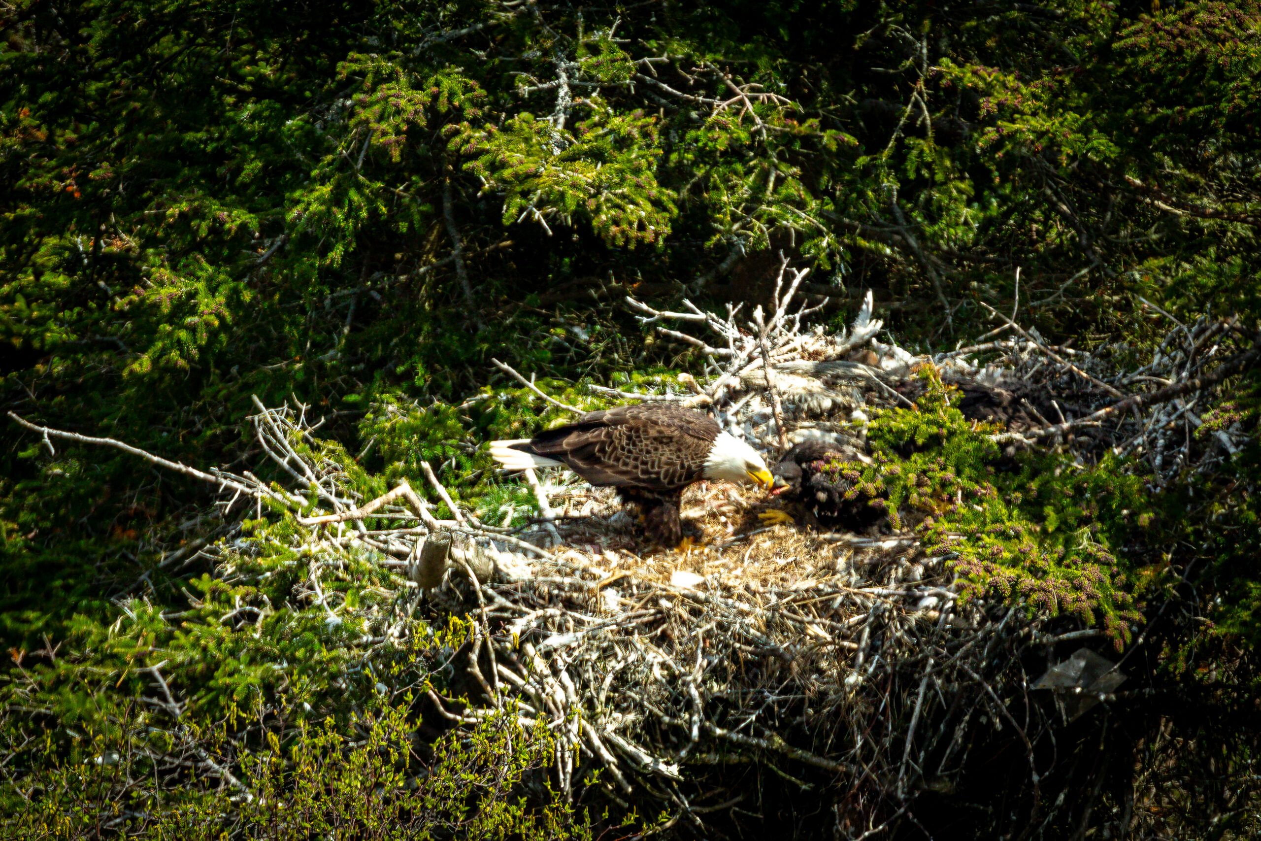
Strategies for Avoiding and Minimizing Disturbance to Bald and Golden Eagle Nests During Transmission Line Construction – By Jessica Pollock
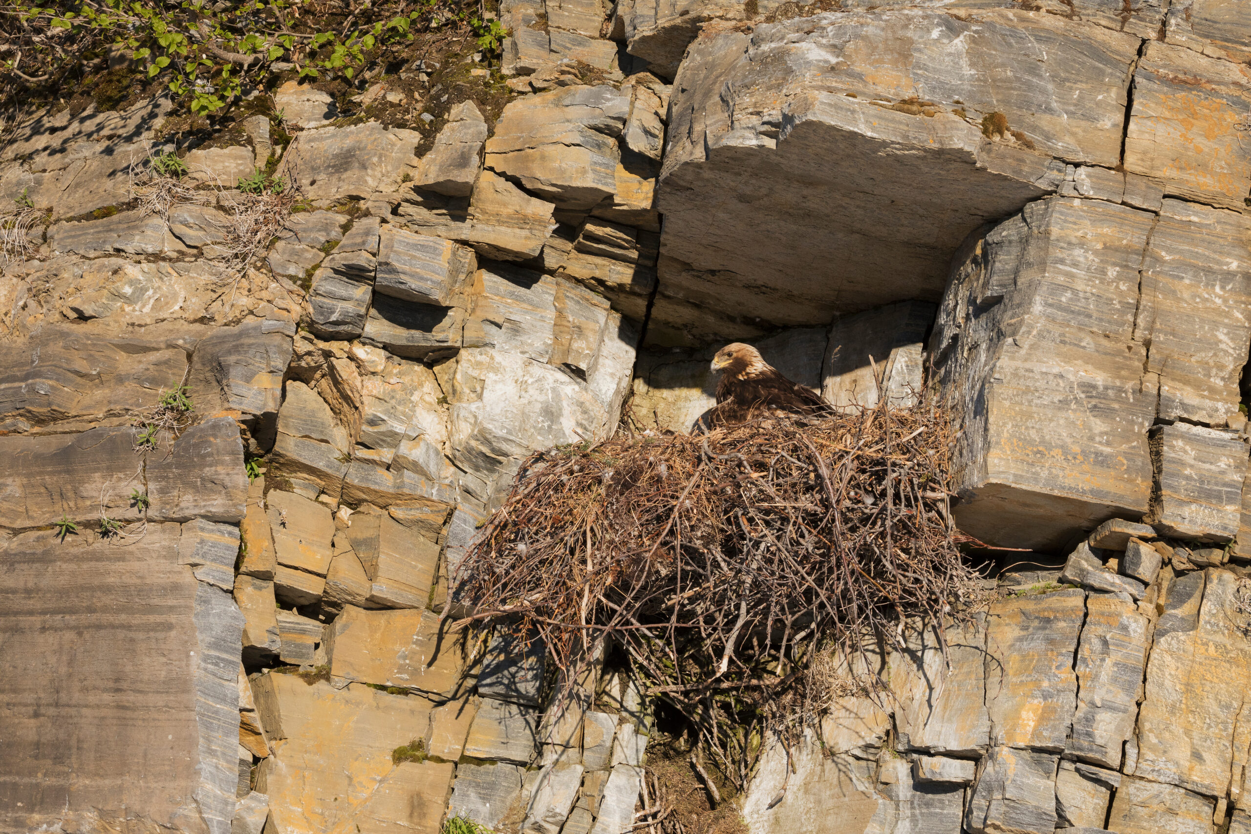
Drawing on our experience with transmission projects in the western US, we shared practical strategies for managing eagle nest compliance under the Bald and Golden Eagle Protection Act (BGEPA) while keeping large-scale construction projects on schedule.
Key Takeaways
- We outlined two primary permitting strategies: project-wide permits (more flexible, higher mitigation cost) and targeted individual nest permits (lower cost but less adaptable when new nests are discovered mid-construction).
- Early coordination, proactive data collection, and adaptive construction sequencing are the most effective tools for minimizing schedule disruptions.
- Integrating eagle nest permitting into construction schedule planning from the outset helps developers maintain compliance while staying on time and within budget.
Evaluation of Drones as a Tool for Multi-species Nest Surveys on Linear Rights-of-Way – By Kirsten Pearson
We assessed drone capabilities (IR and zoom lenses) for conducting raptor nest surveys in southern Alberta with the dual goals of maintaining data quality and avoiding disturbance to nesting birds.
Key Takeaways
- Our results demonstrated that drones successfully detected active raptor nests, identified species, and counted eggs/nestlings without causing disturbance.
- We recommend developing raptor-specific best management practices in collaboration with agencies to standardize and refine drone-based survey protocols.
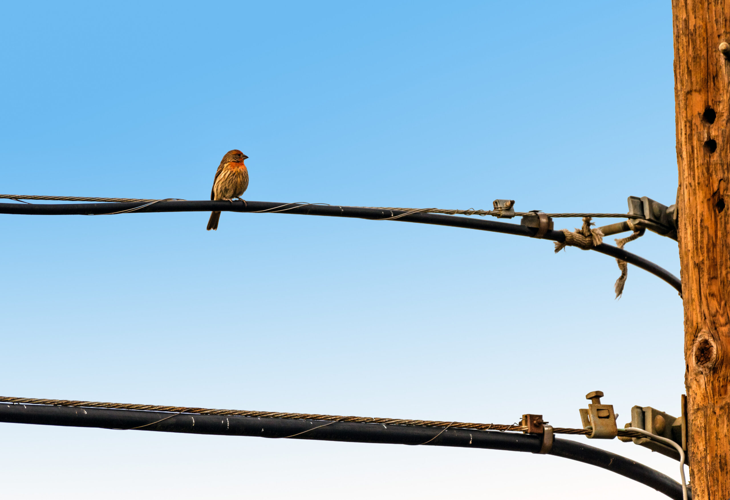
Managing Raven Use of Transmission Lines to Protect Greater Sage-grouse and Other Ground-nesting Birds – By Amanda Mumford

We reviewed how transmission line infrastructure inadvertently benefits common ravens (ravens) a key predator of greater sage grouse (sage-grouse) and other ground-nesting birds — and evaluated available strategies to reduce raven attraction in sagebrush habitats.
Key Takeaways
- Transmission lines function as perch and nest substrates in open landscapes, increasing predation risk and reducing sage-grouse lek attendance and nest survival within 2–12 km.
- Current strategies, such as perch deterrents and carcass removal, show mixed results; emerging approaches include removing inactive poles and co-locating new lines with existing infrastructure.
- Our review highlights the need for an integrated, adaptive management framework and additional research on deterrent effectiveness.
Bird’s Eye View: Reducing Potential Avian Collision Risk with Power Lines – By Geoffrey Palmer
We developed a geographic information system- (GIS-) based, data-driven approach, using bird biology and publicly available data, to assess avian collision risk along power line ROWs and to help prioritize where line marking efforts will have the greatest impact.
Key Takeaways
- Our weighted landscape analysis evaluates relative collision risk along the full length of a ROW and can be tailored to regional and at-risk species, such as cranes, waterfowl, and other waterbirds.
- The approach is applicable during both the project development and operational phases, offering flexibility across the project life cycle.
- By identifying priority areas for line marking, our analysis supports scientifically defensible, cost-effective mitigation decisions.
Using a GIS Habitat Composite Layer to Identify High-value Eagle Habitat and Evaluate Risk of Bird-power Infrastructure Interactions – By Grant Gardner
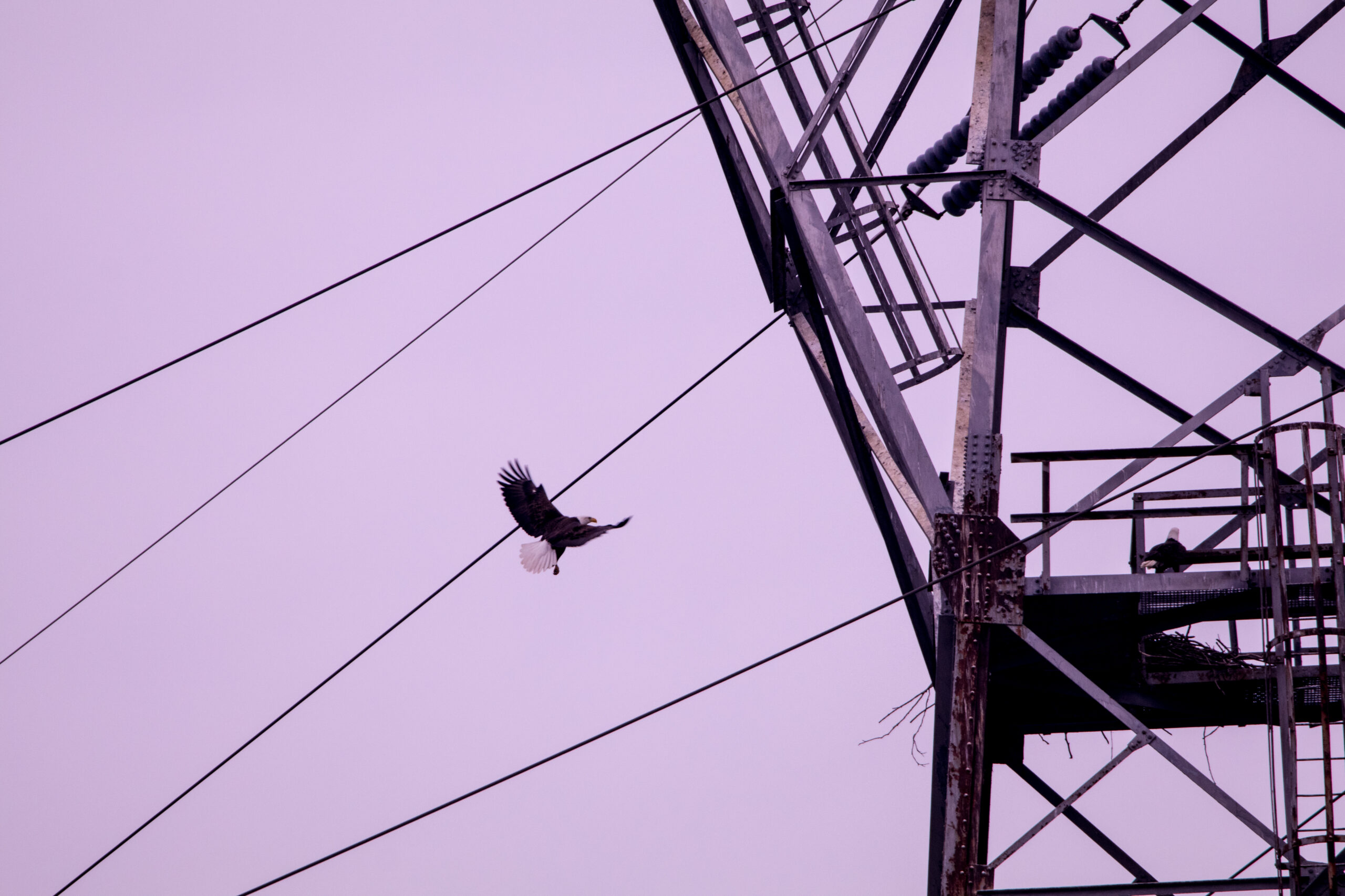
We developed a “habitat composite layer” as a more accessible, less resource-intensive alternative to complex species habitat models, designed to map key environmental variables and predict bald eagle presence near power infrastructure.
Key Takeaways
- Our composite layer combines key attractant and avoidance variables with known eagle occurrence data to visually depict relative development risk across a landscape.
- The approach is simpler and faster to produce than traditional models, while still providing actionable spatial information for project planning.
- The flexible methodology can be adapted to other species and local data availability, helping operators make informed decisions about where to focus limited resources.
Uncrewed Aircraft System Application for Land Cover Mapping and Other Potential Uses – By Aaron Hoeing
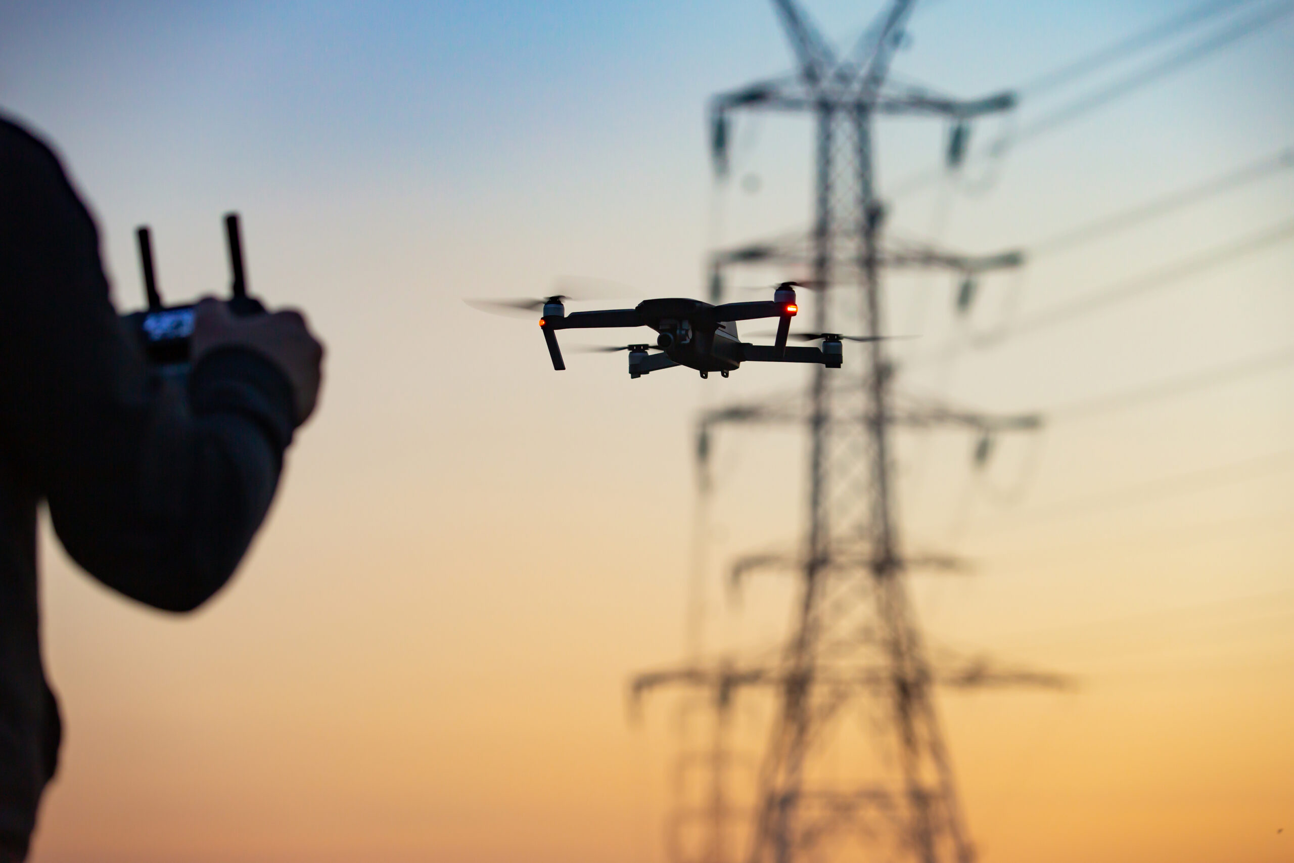
We applied Uncrewed Aircraft System (UAS) technology to conduct land cover mapping along a transmission line ROW in the high plains region and are continuing to develop methods to expand efficiency, reduce costs, and automate analysis.
Key Takeaways
- Our UAS successfully collected imagery sufficient to delineate current land cover along the transmission line corridor.
- We are developing fixed-wing UAS capabilities in anticipation of Federal Aviation Administration beyond-visual-line-of-sight rulemaking to extend operational range and reduce field costs.
- We are integrating pre-trained machine learning (ML) models to automate land cover classification and further streamline the workflow.
Finding More Efficient Methods for Identification of Bat Roost Trees: Are Detection Dogs an Answer? – By Sally Yannuzzi
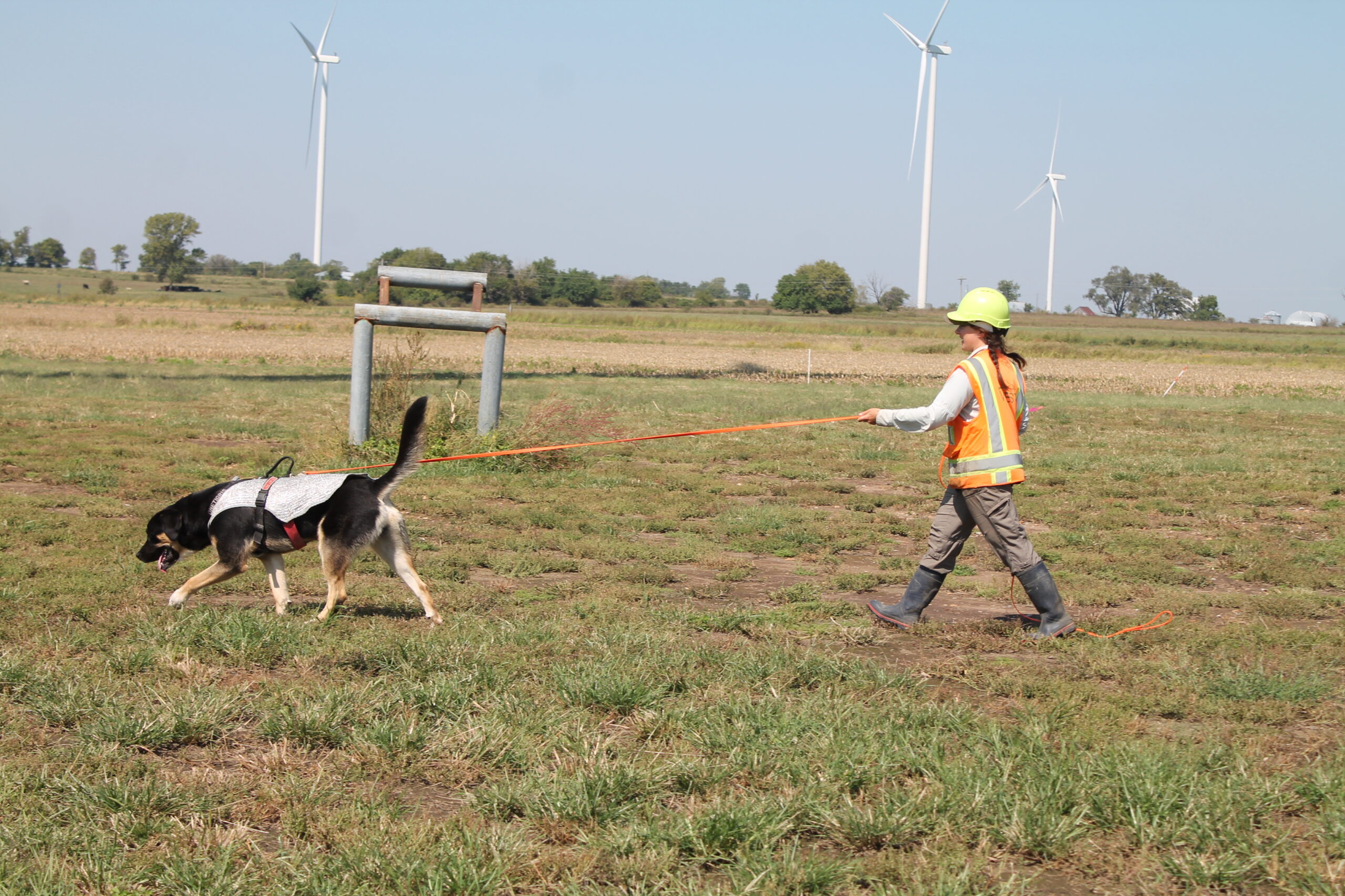
We investigated the potential of conservation detection dogs (CDDs) as a more efficient and minimally invasive method for locating bat roost trees prior to tree clearing operations using simulated roost trials in the field.
Key Takeaways
- Across over 330 trials, CDDs exhibited a behavioral change indicating detection in approximately 64% of cases; detection probability decreased as simulated roost height increased.
- Temperature and humidity did not affect detection rates, but positively influenced detection distance; shorter search time correlated with greater detection distance.
- Our findings support CDDs as a viable rapid-survey tool that can guide targeted placement of acoustic detectors for species confirmation ahead of clearing operations.
Power Line Design and Operations to Minimize Risks to Birds and Enhance System Reliability – By Meggin Weinandt
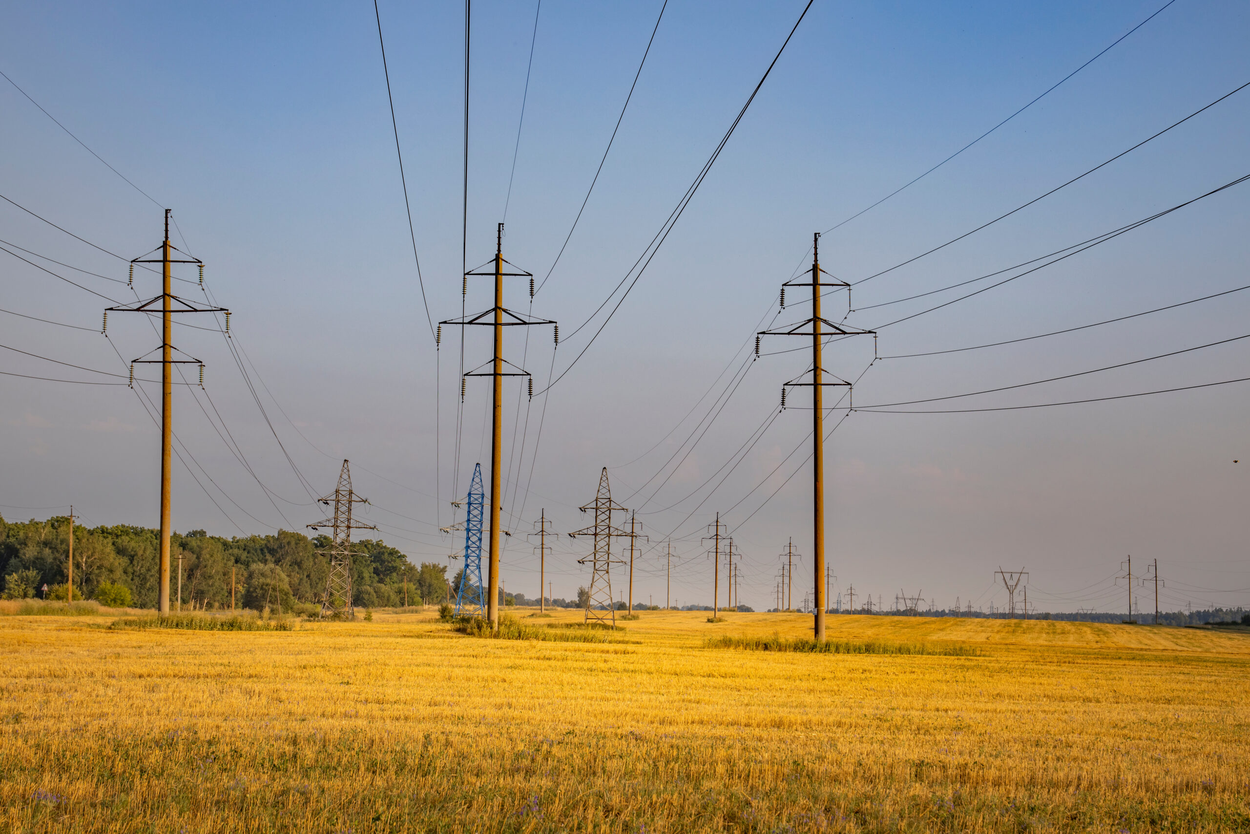
We researched an overview of common bird-related challenges on transmission and distribution lines and outlined strategies available at each stage of a project to reduce risk, maintain compliance, and protect grid reliability.
Key Takeaways
- Project planning and design represent the most critical window for incorporating bird-safe design elements; early coordination significantly reduces downstream compliance risk.
- Best practices span pole design for electrocution and collision avoidance, nest management, and vegetation management — all grounded in the Avian Power Line Interaction Committee’s suggested practices.
- Reducing bird-power line interactions simultaneously supports regulatory compliance and the reliability of power delivery systems.
A Review of Computer Vision Methods for Assessing Wildlife Presence and Impacts at Linear Rights-of-Way – By Riley Knoedler
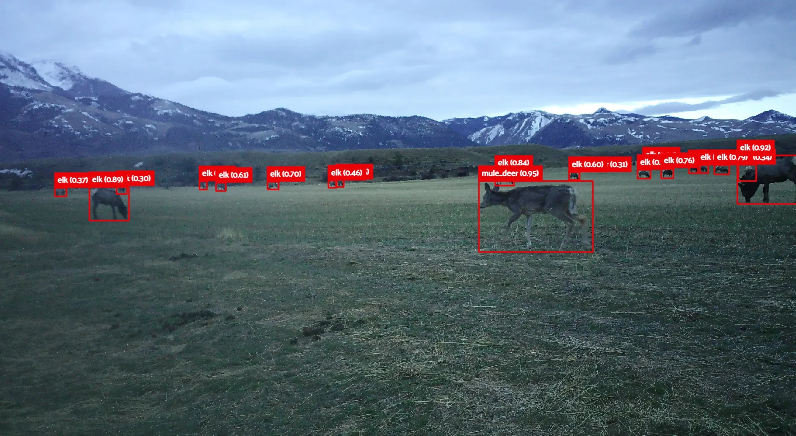
We reviewed the current state of computer vision (CV) and ML applications — both within WEST and across the broader field — for improving wildlife monitoring and ROW management.
Key Takeaways
- CV/ML tools have the potential to shift ROW management from reactive mitigation to proactive ecological stewardship by enhancing monitoring efficiency and predictive planning.
- The applications we explored include insect detection via camera traps, ungulate behavior analysis, and UAS-based bat detection.
- These technologies offer meaningful opportunities to reduce manual labor, improve data accuracy, and support regulatory compliance.
Habitat Planning for Bumble Bee Conservation in Linear ROW Habitats – By Kate Tillotson-Chavez
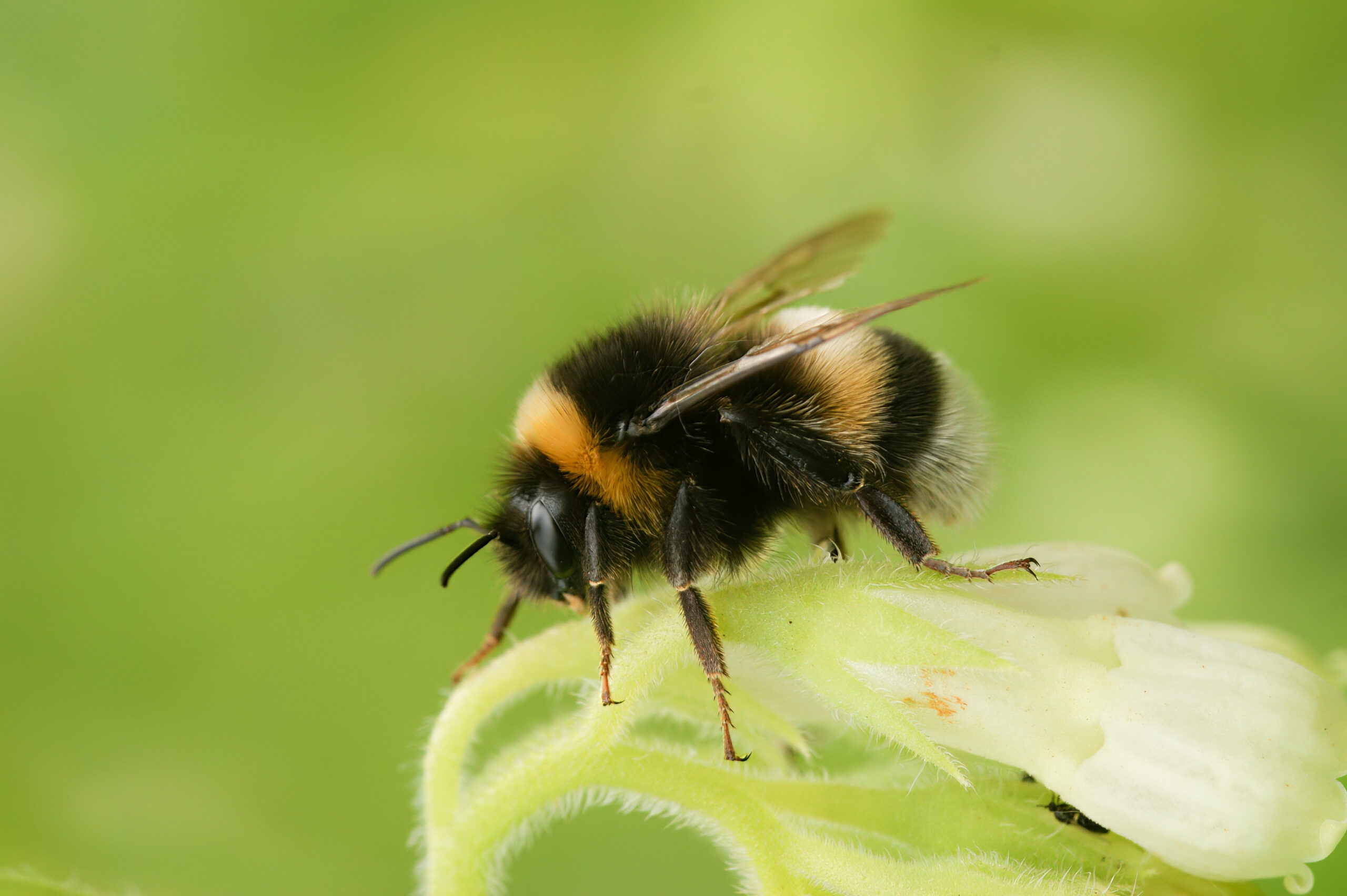
We examined how ROW linear habitats can serve as conservation corridors for at-risk bumble bees — particularly the federally endangered rusty patched bumble bee (RPBB) — and present ongoing research applying eDNA surveillance to address critical knowledge gaps around queen RPBB habitat use.
Key Takeaways
- ROW vegetation restrictions make these corridors well-suited to the prairie and early successional habitats preferred by RPBB, though the linear structure presents unique planning challenges for highly mobile species.
- Federal recovery permits restrict surveys during queen RPBB flight season, creating a significant data gap; eDNA offers a scalable, non-specialist -friendly approach to fill it.
- Our ongoing research aims to extend eDNA surveillance to bumble bee queens, with the potential to meaningfully inform habitat planning and connectivity strategies along ROW corridors.
Leading the Industry Forward in Rights-of-Way Solutions
The abstracts shared above represent just a snapshot of the applied research and expertise WEST brings to rights-of-way environmental challenges every day. From emerging drone and computer vision technologies to eagle nest permitting strategies and bumble bee conservation, our team is actively advancing the science and practice that helps infrastructure projects move forward responsibly and efficiently.